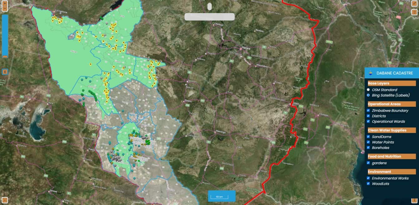
GIS

Dabane has been utilising a GIS for the past 12 years to monitor the impact of various projects. Various software such as ArcGIS and QGIS are utilised by the team to identify the project reach. This system assists the team in coming up with a special database of project sites for post-project monitoring and programme learning.
